About Climb Hubs
We put crags, summits and trailheads on one free map, with the recent rain at every crag, beside the gyms, guides and schools near you. Climbing businesses get one dashboard to run the rest.
On the map
What we’ve mapped
Built from public data and from the businesses themselves, with the source kept on every record. All of it sits on one free map, and you never need an account to use it.
- Gyms & guides
- 881
- Crags
- 4,916
- Summits, pillars, arches & cliffs
- 76,313
- Trailheads & visitor centers
- 1,701
Our story
Why we built this
Route beta is a solved problem. Mountain Project owns it, and we are not trying to. What is still scattered is everything around it: where the crags are, whether the rock is dry after last night's rain, and who teaches or guides nearby.
Climb Hubs puts that on one free map. Crags and the summits, pillars and cliffs around them come from public map data, and Is the Rock Dry? shows the last week of rain at any crag, hour by hour.
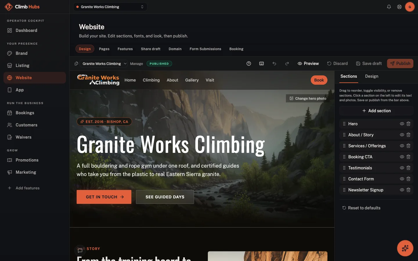
The gyms and guide services beside them run one of the most safety-critical businesses outdoors on some of the least software. Adding a listing is free, and one dashboard covers a website, bookings, waivers with minor consent, multi-visit passes, a customer list and a review request after each session.
What we believe
Waivers that fit climbing
Climbers sign on their phone before they arrive. A parent signs for minors, and each signature is timestamped and saved as a PDF.
Crags and conditions, free
Find gyms, crags and guides by state, check the weather at the crag, and browse without an account.
Book from your own phone
Climbers book and sign from their own phone, so the front desk is not the only place a session starts.
Beginner to big wall
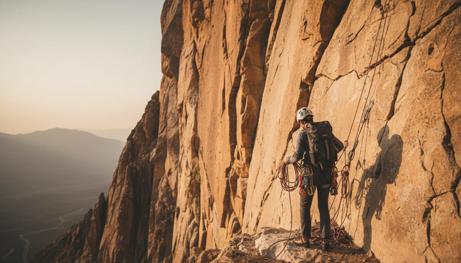
An intro top-rope clinic and an alpine guiding day are both offerings with their own price and group size. The same tools run either.
Watch
GoHubs in one minute.
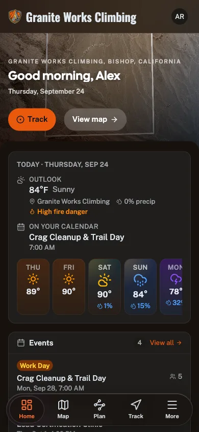
Every activity, one free app. See the map, conditions, route planner and trails in action.
The network
Part of the Great Outdoor Hubs network
Great Outdoor Hubs is the company behind a family of outdoor activity sites and one free app, GoHubs. Our work starts with data. Trails and forest roads, rivers and live gauges, tides and marine forecasts, public land, campgrounds and fish stocking all come from the agencies that publish them, and we keep the source attached.
Then we make it useful. The same data runs the maps, conditions, planners and listings on every site, and goes into the field with the GoHubs app, whose GPS tracks keep recording with no signal. Every site shares one platform, so a tool built for one activity reaches the rest.
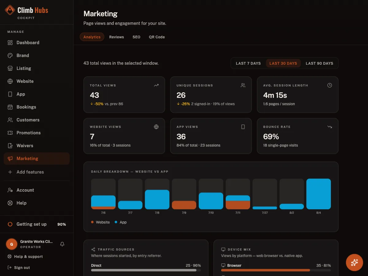
Outdoor businesses get the other half: one dashboard for their listing, website, bookings, waivers, customers and marketing, plus their own hub inside GoHubs. It is written in plain words for people who would rather be outside than at a desk, and their subscriptions are what keep the maps and tools free for everyone else.
The shared platform powering fifteen outdoor community brands.

Get started
Put Climb Hubs to work
The same toolkit that runs operators across the network is ready for yours. Start free. No card, no contract.