Rock Climbing · Texas
Rock Climbing in Texas
Climb 41 gyms, guides and schools across Texas. Maps, hours, contact info, photos, and verified operator profiles, all in one place.
Hill Country, Big Bend desert, Gulf coast, and the Piney Woods.
About Texas
Best time to go
When to climb in Texas
October through May for the south/desert; year-round for the Hill Country.
- October–April: the prime window for desert sandstone
- Summer: far too hot, so climb early at elevation or skip it
- Sandstone needs 24–48h to dry after rain, so never climb it wet
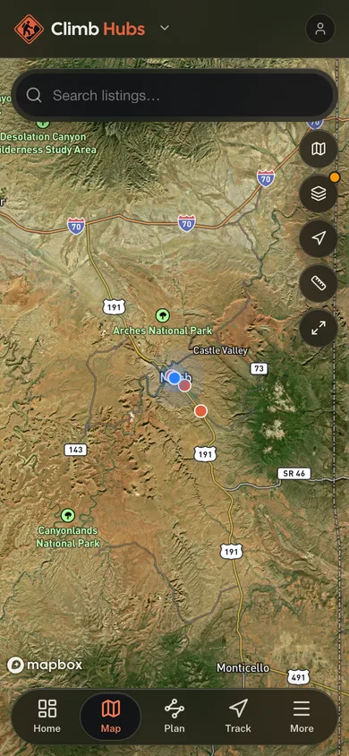
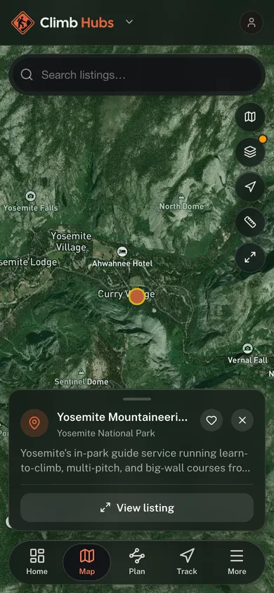
41 on the map
Tap a pin to open its profile.
Quick facts
- Crags mapped
- 36
- Gyms, guides and schools listed
- 41
- Best season
- October through May
All listings
41 gyms, guides and schools
across Texas





Plan your trip
Plan your trip to Texas
Signature Rock Types and Climbing Areas
Texas climbing is defined by its distinct geology: primarily limestone in the Central Texas Hill Country (e.g., Reimers Ranch, Pace Bend), granite at Enchanted Rock State Natural Area, and syenite (a bullet-hard, granite-like igneous rock), at the world-renowned Hueco Tanks State Park & Historic Site in West Texas. Each rock type offers unique climbing characteristics and challenges.
Climbing Seasons and Best Months
The prime outdoor climbing season in Texas runs from late fall through early spring (October to April), with optimal conditions typically found in November, December, February, and March. Summers are generally too hot for comfortable outdoor climbing, though indoor gyms provide year-round access.
Disciplines and Access
Texas is best known for bouldering, particularly at Hueco Tanks, and sport climbing on limestone in Central Texas. Traditional climbing is prominent at Enchanted Rock. Access to many outdoor areas, especially state parks, may require fees, reservations, or specific permits; always check with the land manager beforehand.
Access, Ethics, and Closures
Responsible climbing ethics are paramount. Seasonal wildlife closures protect nesting birds at some Central Texas areas, in the Hill Country these are driven mainly by endangered songbirds like the golden-cheeked warbler rather than raptors; respect all posted restrictions. The Access Fund and local climbing organizations like the Central Texas Mountaineers are active in stewardship and advocacy, working to maintain access. Fixed anchors are generally accepted in established areas, but bolting norms vary; consult local guidelines. AMGA-certified guide services and climbing schools operate throughout Texas, offering professional instruction and guided trips.
Indoor Gyms vs. Outdoor Crags
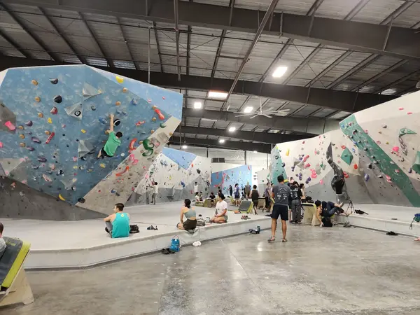
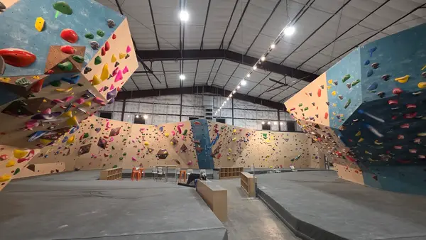
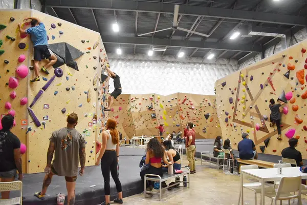
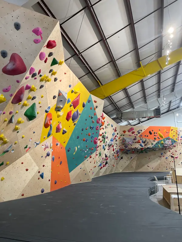
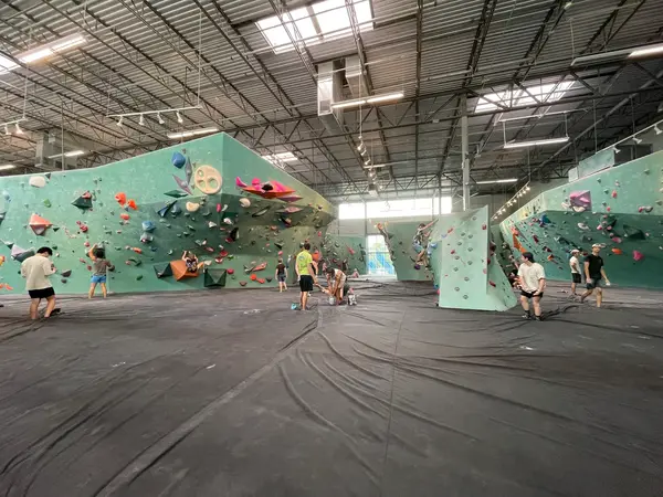
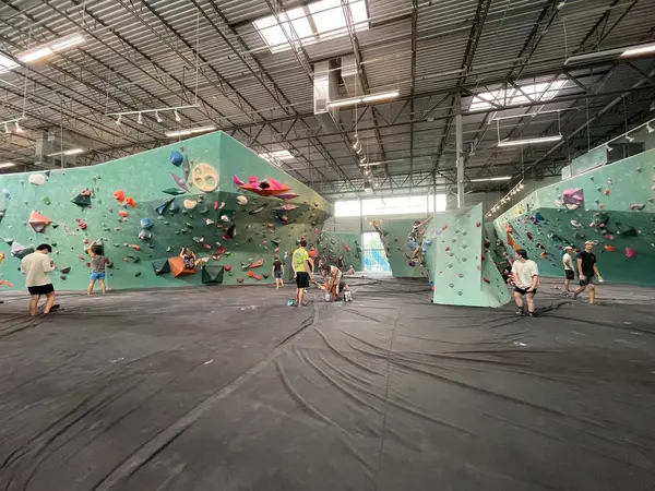
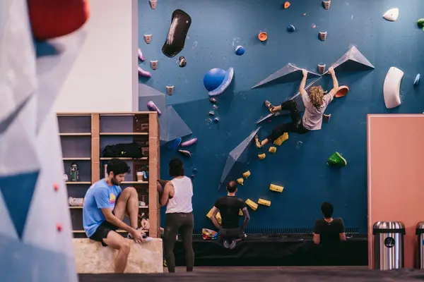
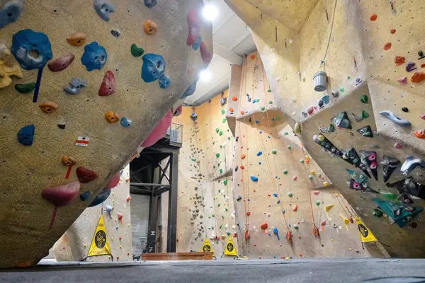
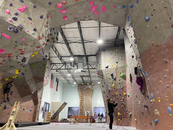
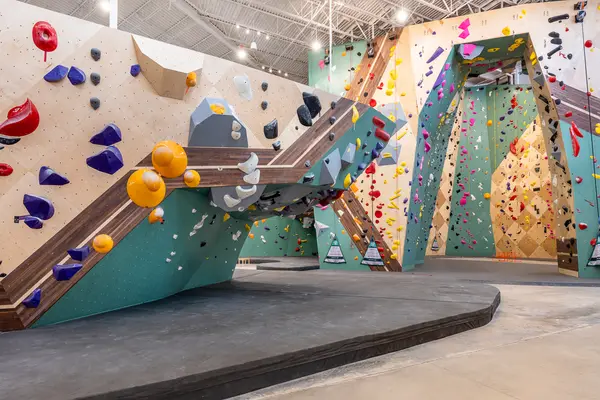
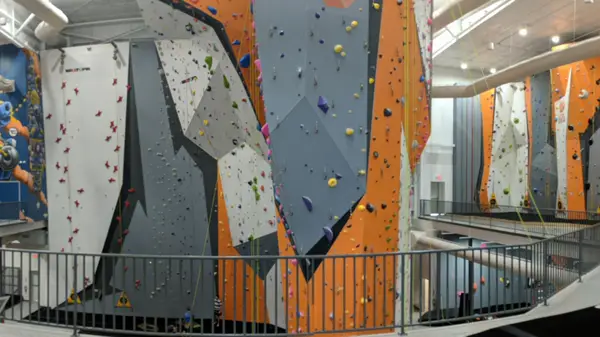
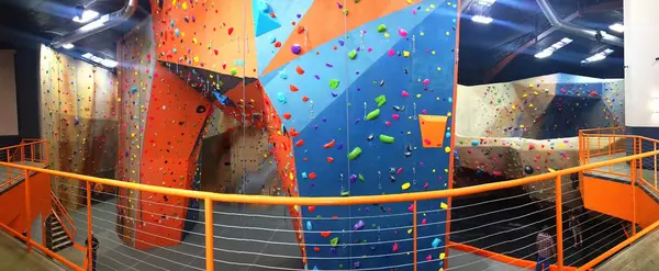
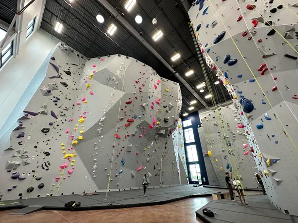
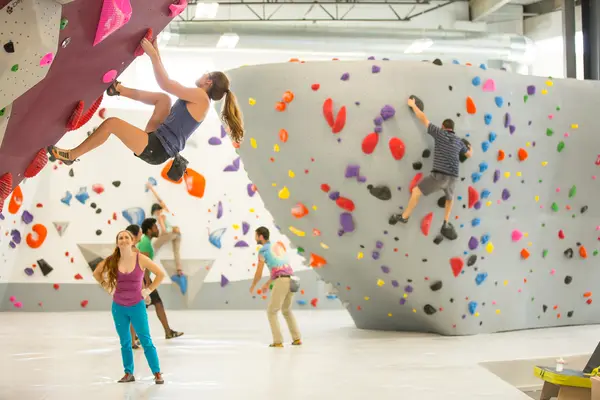
Texas boasts a robust network of indoor climbing gyms in its major cities, offering extensive training facilities and a community hub. These gyms are crucial during the hot summer months. Outdoor crags provide diverse challenges but require greater awareness of weather, access regulations, and Leave No Trace principles.
Confirm current requirements with the state agency before your trip. Rules and fees change every season.
Texas State Park Entry Fees
Visitors to Texas State Parks, including climbing areas like Enchanted Rock and Reimers Ranch (managed by Travis County Parks, but similar fee structure), must pay an entry fee or possess a Texas State Parks Pass. Fees vary by park and duration of visit.
Hueco Tanks State Park & Historic Site Reservations
Hueco Tanks State Park & Historic Site has strict access regulations due to its cultural significance and environmental sensitivity. All visitors, including climbers, must make reservations in advance, and access to certain areas requires a guided tour. Verify current requirements and book well in advance.
Seasonal Climbing Closures
Various climbing areas implement seasonal closures to protect nesting birds. In the Central Texas parks and crags the driver is the endangered golden-cheeked warbler, a songbird; at Big Bend National Park, technical climbing is prohibited within a quarter mile of active peregrine falcon eyries during nesting season (February 1–May 31). These closures are mandatory and can affect specific routes or entire sections of a crag. Always check with the relevant park or land manager for current closure information before planning your climb.
- 01
Research Your Destination
Decide what you're after (gym sessions, desert bouldering, limestone sport routes, granite trad), and pick locations to match. Rock type, typical grades, and nearby amenities all shape what kind of trip you're signing up for.
- 02
Check Access and Regulations
Texas crags come with paperwork. Verify access rules, fees, and seasonal closures with the land manager before you go, Hueco Tanks and Enchanted Rock in particular run reservation systems, and showing up without one can end the trip in the parking lot.
- 03
Prepare for Texas Weather
Respect the heat. Aim outdoor trips at the cooler months, fall through spring. If you're stuck with a summer visit, climb at dawn or after sunset, carry more water than feels reasonable, and let the gyms cover the midday hours.
- 04
Connect with Local Resources
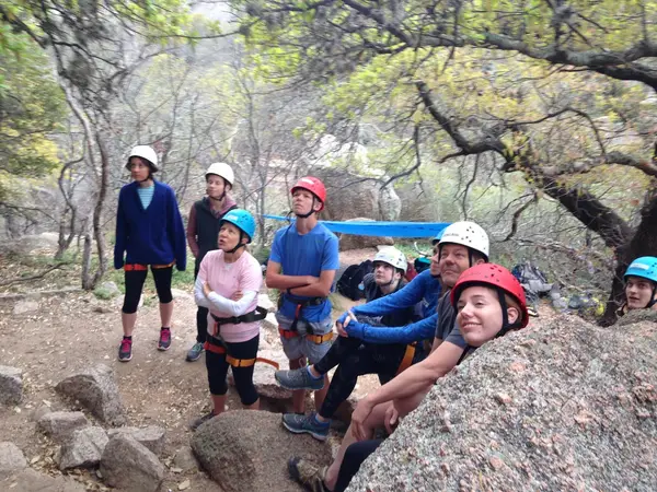
New to Texas rock? An AMGA-certified guide or a session at a local gym is the fastest way in. Guides and gym staff carry the local knowledge: which crag suits your level, what the conditions are doing, where to rent gear.
- 05
Practice Leave No Trace Principles
Pack out everything, stay on established trails, and go gently around vegetation and wildlife. At Hueco Tanks the stakes are higher still, the rock holds irreplaceable cultural resources, and climbing access depends on treating them that way.
01What are the best outdoor climbing areas in Texas?
02Is bouldering or rope climbing more popular in Texas?
03Do I need a permit to climb at Texas State Parks?
04When is the best time of year to climb outdoors in Texas?
05Are there climbing gyms in major Texas cities?
06Are guided climbing services available in Texas?
Free tools
Your free outdoor toolkit
Everything Map
Listings, trails, spots, clubs and public land on a single full-screen map. Switch layers on and off, then tap any point for the details.
Open Everything MapCrags
Find climbing areas on a map with discipline, grade range, and how many routes each crag holds.
Open CragsRoute Planner
Drop stops on a map and watch distance and drive time add up. Export a GPX or share the link.
Open Route PlannerClimbing Clubs
Browse local clubs with meeting info and how to join, or start your own for free.
Open Climbing ClubsPhoto ID
Point your camera at whatever you found and get a structured identification. No signup.
Open Photo IDGear Checklists
Printable, save-as-you-go packing lists. Tick items off and pull them up on your phone.
Open Gear Checklists


Keep exploring