Rock Climbing · Oregon
Rock Climbing in Oregon
Climb 28 gyms, guides and schools across Oregon. Maps, hours, contact info, photos, and verified operator profiles, all in one place.
Cascades, the high desert, and the most varied coastline in the lower 48.
About Oregon
Best time to go
When to climb in Oregon
June through October.
- June–September: alpine rock and high-elevation crags are in
- Watch afternoon thunderstorms, so start early and summit by noon
- Winter shifts to ice and mixed climbing
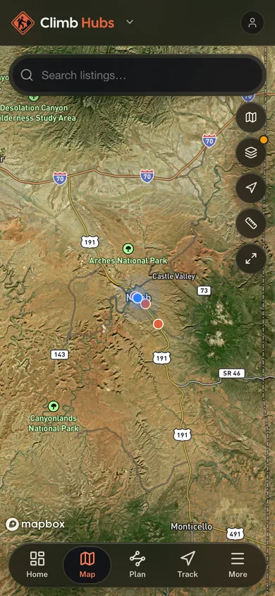
28 on the map
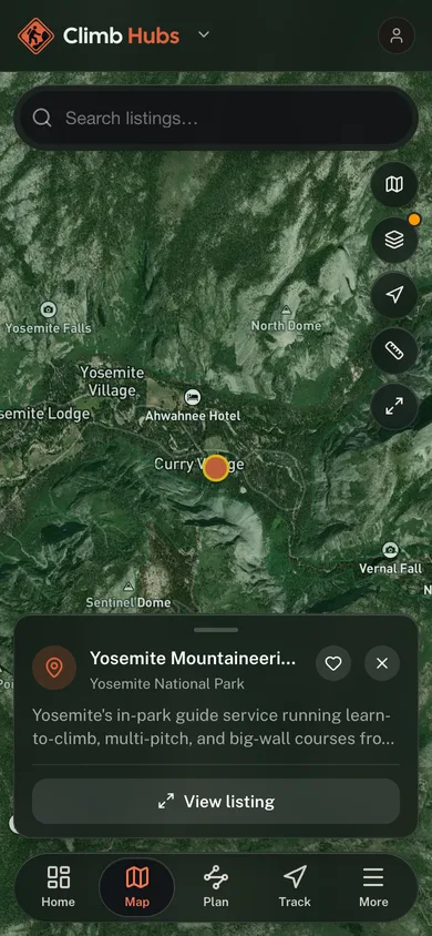
Tap a pin to open its profile.
Quick facts
- Crags mapped
- 117
- Gyms, guides and schools listed
- 28
- Best season
- June through October
All listings
28 gyms, guides and schools
across Oregon
Watch it live
Live webcams in Oregon
 Location
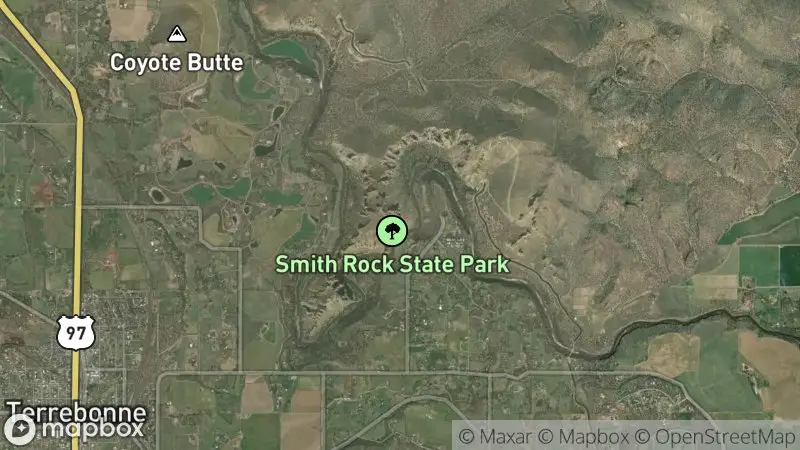
Smith Rock State Park
via SmithRock.com
Watch livePlan your trip
Plan your trip to Oregon
Signature Rock Types and Areas
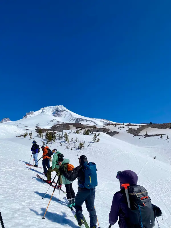
Oregon's climbing is primarily defined by the volcanic tuff of Smith Rock State Park, offering highly featured sport routes. The Columbia River Gorge is known for its columnar basalt, providing excellent traditional and sport climbing. Granite formations are found in the Wallowa Mountains, suitable for alpine adventures, while the high Cascades are glaciated andesite and basalt volcanoes that hold serious alpine and mountaineering routes.
Climbing Season and Best Months
The prime outdoor climbing season generally runs from March through November. Spring and Fall are ideal for Smith Rock and the Columbia River Gorge due to temperate weather. Summer opens up high-elevation alpine climbing in the Cascades, but can be very hot in the desert. Indoor gyms provide year-round access and are essential during winter or extreme weather.
Disciplines and Community
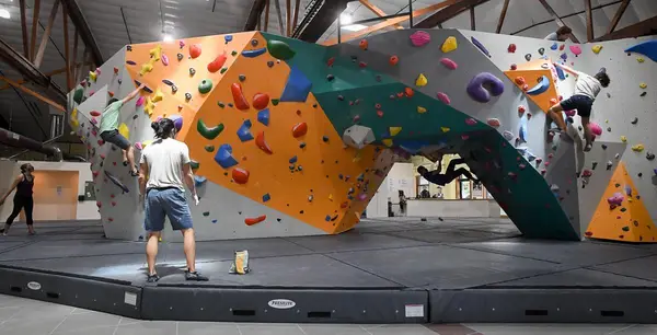
Sport climbing is dominant at Smith Rock, while the Columbia River Gorge is a hub for both sport and traditional climbing. Bouldering opportunities exist across various regions, and the Cascades offer significant alpine and mountaineering challenges. Oregon has a strong, active climbing community supported by local gyms, guide services, and advocacy groups like the Access Fund.
Access, Ethics, and Closures
Climbers must adhere to Leave No Trace principles. Fixed anchor and bolting norms are generally established and maintained by local communities and land managers. Seasonal raptor-nesting closures are common, especially in the Columbia River Gorge and at Smith Rock; always check local advisories. Land manager permits (State Parks, USFS, BLM) may be required for parking or overnight stays.
Guide Services and Schools
Oregon hosts several reputable climbing guide services and schools, many employing AMGA-certified guides. These services offer instruction and guided trips for all skill levels, from beginner rock climbing to advanced multi-pitch and alpine ascents, ensuring safe and educational experiences across the state's diverse climbing areas.
Confirm current requirements with the state agency before your trip. Rules and fees change every season.
Oregon State Park Day-Use and Camping Permits
Many popular climbing areas, including Smith Rock State Park, are located within Oregon State Parks (others, such as French's Dome, sit on Mt. Hood National Forest land under the US Forest Service). A valid day-use parking permit or an Oregon State Parks Pass is required for vehicle access. Overnight stays require a camping permit. Verify specific requirements for your chosen park.
Wilderness Permits for Alpine Climbing
Climbing in designated Wilderness Areas within the Oregon Cascades (e.g., Three Sisters Wilderness, Mount Hood Wilderness) may require a self-issued permit at the trailhead or a limited entry permit during quota seasons. Always check with the relevant US Forest Service district office for the latest requirements before entering a wilderness area.
US Forest ServiceCommercial Guiding Permits
Any individual or business operating commercial climbing guide services or schools on public lands in Oregon must obtain specific permits from the managing agency (e.g., US Forest Service, Bureau of Land Management, Oregon State Parks). These permits ensure adherence to safety standards and environmental regulations. Visitors engaging a guide should verify their guide's credentials and permits.
- 01
1. Research Your Destination
Match the venue to your goals: Smith Rock for sport climbing, the Gorge for trad and mixed cragging, a gym for training. Then get specific: access points, operating hours, and any entry requirements vary area to area.
- 02
2. Check Conditions and Forecasts
Oregon weather is a tale of two states, the high desert can be dry while the Gorge drips. Check the forecast, road conditions, and area-specific closures like raptor nesting before committing to a crag. In winter, assume gym unless proven otherwise.
- 03
3. Secure Necessary Permits and Passes
State parks require day-use parking permits, and wilderness areas may need their own permits. Buying ahead or at the kiosk takes minutes; skipping it earns you a fine and shorts the agencies that keep these places open.
- 04
4. Consider a Guide Service or School
For a first outdoor season or a jump to multi-pitch, an AMGA-certified guide compresses years of trial and error into a few days. You get local knowledge, honest skill assessment, and technique built on real Oregon rock.
- 05
5. Understand Local Ethics and Leave No Trace
Each area has its own norms around fixed anchors, chalk, and waste, learn them before you climb, not after someone corrects you. Leave No Trace is the baseline everywhere; access in Oregon runs on climbers holding that line.
01How many climbing operators are listed in Oregon?
02What is the best time of year to climb at Smith Rock?
03Are there good bouldering spots in Oregon?
04What kind of rock is most common for climbing in Oregon?
05Do I need a special permit for outdoor climbing in Oregon?
06Are AMGA-certified guide services available in Oregon?
07What should I do if I encounter a raptor closure at a climbing area?
Free tools
Your free outdoor toolkit
Everything Map
Listings, trails, spots, clubs and public land on a single full-screen map. Switch layers on and off, then tap any point for the details.
Open Everything MapCrags
Find climbing areas on a map with discipline, grade range, and how many routes each crag holds.
Open CragsRoute Planner
Drop stops on a map and watch distance and drive time add up. Export a GPX or share the link.
Open Route PlannerClimbing Clubs
Browse local clubs with meeting info and how to join, or start your own for free.
Open Climbing ClubsPhoto ID
Point your camera at whatever you found and get a structured identification. No signup.
Open Photo IDGear Checklists
Printable, save-as-you-go packing lists. Tick items off and pull them up on your phone.
Open Gear Checklists


Keep exploring